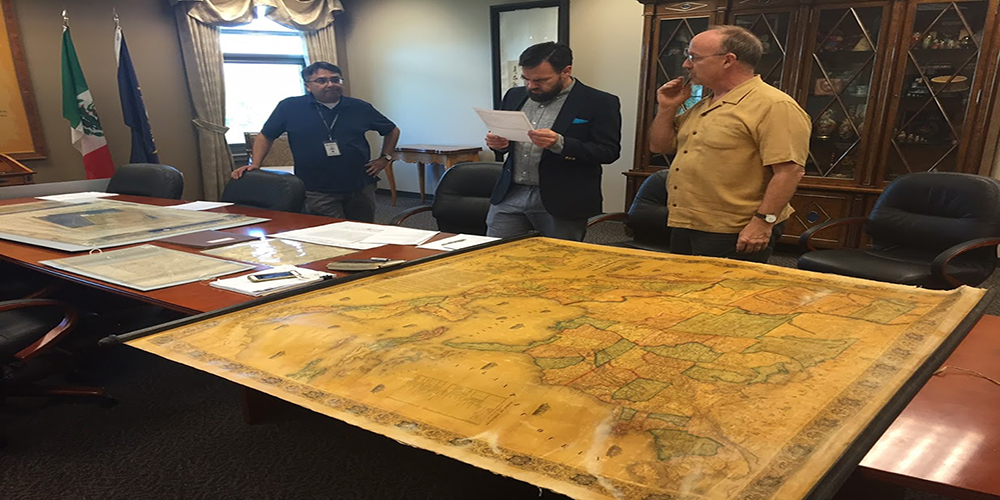
On the right, private collector Stephen Boulay and Travis Ross discuss the exhibit at their first planning meeting
PhD Graduate Travis Ross co-curates award winning exhibition
Western History Association awards Autry Public History Prize to curators of Utah Drawn exhibit
August 23, 2018 - The Western History Association's Autry Public History Prize is awarded annually to media exhibits, public programs, or written works that contribute to a broader public reflection and appreciation of the past or serve as a model of professional public history practice in the history of the North American West. This year the award was given to the creators of the "Utah Drawn: An Exhibition of Rare Maps" exhibit, including Travis Ross, History Department alum and PhD student. The award consists of a $1,000 prize and a certificate to the award recipient. The prize is made possible by the generous support of the Autry National Center.
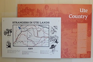
"This exhibit began with the desire to build a public history and art exhibit around a core collection of rare maps assembled by the local businessman Steve Boulay. On their own, Steve’s collection told a visually compelling story about the cartographic history of western North America, but especially of the region that became Utah", says Ross. "Utah Drawn uses the familiar and visually-interesting form of the map—which purports merely to tell the truth—to explore all the ways that ostensible facts like place names and spacial relationships are actually perspectives determined by political control, economic interests, and cultural assumptions."
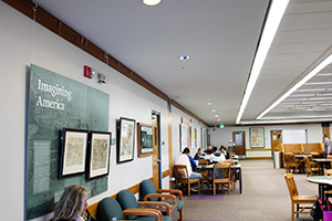
Ross and his associates aimed to inform and educate visitors of the Capitol Building, keeping in mind the different audiences that might encounter the exhibit. "We tried to do some pretty high-level stuff while targeting the Capitol’s high volume of middle school visitors. It might seem pretty abstract to argue that competing visions of land use lead to fundamentally different ways of organizing and imagining landscapes. Put that argument alongside two maps that juxtapose the stark difference between the neat grid of a Mormon settlement and the seemingly haphazard streets of a mining town where planners cared mostly about getting subterranean wealth out of the ground, and that argument becomes much more concrete. So I think the exhibit helps to illustrate abstract arguments made by historians and geographers, but it also asks visitors to question the authority and neutrality of maps."
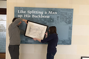
The exhibit features rare maps of Utah, contributed by the American West Center, private collector Stephen Boulay and other special collection organizations.
The exhibit was displayed in the halls of the Utah State Capitol Building from January 2017 to June 2017.
The exhibit currently resides in the Gerald R. Sherratt Library at Southern Utah University.